
Field mapping
See the whole farm before deciding where to spray.
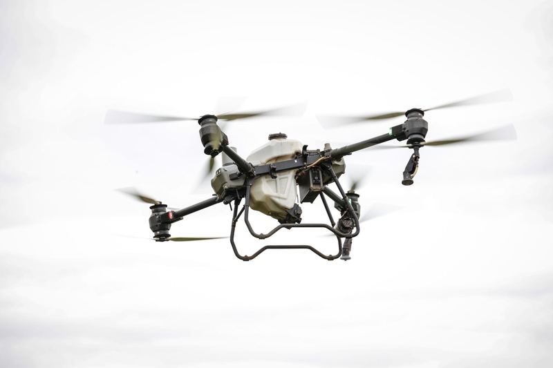
Multispectral and high resolution maps show plant stress, drainage problems and gaps. For banana, maps can help monitoring teams plan where to inspect for disease.
See the whole farm before deciding where to spray.
Multispectral and high resolution maps show plant stress, drainage problems and gaps. For banana, maps can help monitoring teams plan where to inspect for disease.
Farming in Davao, Bukidnon or Cotabato? Get a quote